Tamil Nadu, located in the southern part of India, is a state known for its rich cultural heritage, vibrant traditions, and robust economic activities. Understanding the administrative divisions of Tamil Nadu is crucial for effective governance, resource management, and developmental planning. Thanks to Geographic Information Systems (GIS), we now have advanced tools to create detailed and interactive maps that provide valuable insights into the state’s administrative structure. In this blog post, we will explore the significance and utility of a GIS-based Tamil Nadu map, highlighting its features, benefits, and applications.
Understanding Tamil Nadu’s Administrative Structure
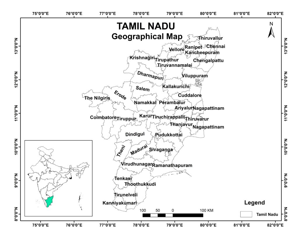
Tamil Nadu is divided into 38 districts, each administered by a District Collector. These districts are further subdivided into taluks, which are then divided into revenue villages. The administrative setup also includes urban local bodies such as municipal corporations, municipalities, and town panchayats. This multi-tiered structure is crucial for the efficient administration and delivery of public services.
A GIS-based Tamil Nadu map provides a visual representation of these administrative divisions, making it easier for stakeholders to understand the geographic and administrative complexities of the state. By overlaying various data layers, GIS maps can highlight boundaries, population density, infrastructure, natural resources, and more.
Features of a GIS-Based Tamil Nadu Map
- Interactive Visualization: A GIS-based Tamil Nadu map allows users to interact with the map, zoom in and out, and explore different regions in detail. This interactivity is beneficial for both governmental and non-governmental organizations involved in planning and development activities.
- Layered Information: The ability to overlay multiple data layers on the map is one of the key strengths of GIS. For example, a Tamil Nadu map can include layers for administrative boundaries, transportation networks, water bodies, land use patterns, and demographic information. Users can toggle these layers on and off to focus on specific data sets.
- Data Integration: GIS maps can integrate data from various sources, such as satellite imagery, census data, and field surveys. This integration provides a comprehensive view of the state’s administrative and geographical landscape.
- Analytical Tools: GIS-based maps come equipped with analytical tools that allow users to perform spatial analysis. For instance, users can calculate the distance between two points, analyze the distribution of resources, or identify areas that need infrastructure development.
Benefits of Using a GIS-Based Tamil Nadu Map
- Enhanced Decision Making: Government officials and planners can use a GIS-based Tamil Nadu map to make informed decisions regarding resource allocation, infrastructure development, and disaster management. The visual representation of data helps in identifying problem areas and prioritizing interventions.
- Improved Resource Management: With detailed information on land use, natural resources, and population distribution, a GIS-based map aids in efficient resource management. It helps in identifying areas that need conservation efforts and those that are suitable for development.
- Public Engagement: A publicly accessible GIS-based Tamil Nadu map can engage citizens by providing them with transparent information about their surroundings. This transparency can foster community involvement in local governance and developmental projects.
- Disaster Management: In a state like Tamil Nadu, which is prone to natural disasters such as cyclones and floods, a GIS-based map is invaluable. It can help in planning evacuation routes, identifying vulnerable areas, and coordinating relief efforts.
- Urban Planning: Urban areas in Tamil Nadu are growing rapidly. GIS-based maps assist urban planners in managing this growth sustainably. They can plan for infrastructure needs, monitor urban sprawl, and ensure that development projects align with environmental and social considerations.
Applications of GIS-Based Tamil Nadu Maps
- Healthcare: By mapping healthcare facilities and analyzing population density, authorities can identify underserved areas and plan the construction of new hospitals or clinics.
- Education: Educational institutions can be mapped along with demographic data to ensure that schools and colleges are accessible to all communities, particularly in rural areas.
- Agriculture: Farmers can benefit from GIS maps that show soil types, rainfall patterns, and land use, helping them make informed decisions about crop selection and farming practices.
- Environmental Conservation: GIS maps can identify critical habitats, forest cover, and water bodies, aiding in conservation efforts and the management of natural resources.
- Transportation: Planners can use GIS-based maps to design efficient transportation networks, improving connectivity between different parts of the state.
Conclusion
The integration of GIS technology in creating a detailed Tamil Nadu map has revolutionized the way we understand and manage the state’s administrative and geographical landscape. By providing a dynamic and interactive platform for data visualization and analysis, GIS-based maps empower stakeholders to make data-driven decisions that enhance governance, resource management, and overall development. Whether it is for government planning, public engagement, or academic research, the utility of a GIS-based Tamil Nadu map is undeniable. As technology continues to advance, the applications and benefits of GIS in mapping Tamil Nadu will only expand, offering even more innovative solutions for the state’s future challenges and opportunities.