In QGIS (Quantum GIS), attribute data refers to the information associated with geographic features. This data is stored in tables, where each row corresponds to a feature and each column represents an attribute or characteristic of that feature. QGIS provides various tools for managing, visualizing, and analyzing attribute data. Here’s an overview of how to work with attribute data in QGIS:
Viewing Attribute Data
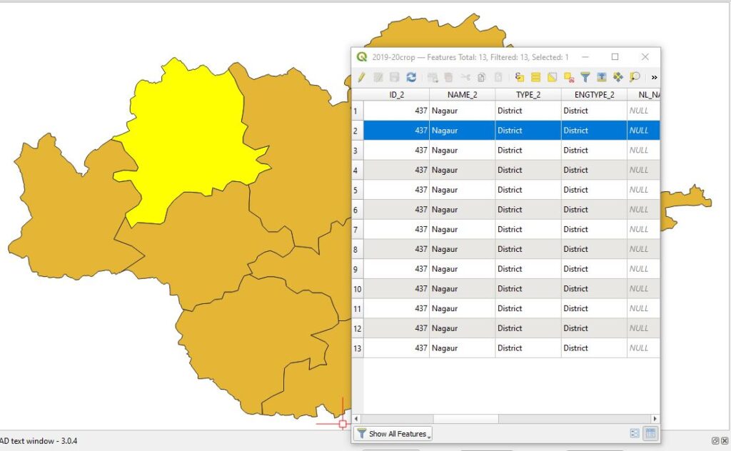
- Open Attribute Table:
- Right-click on the layer in the Layers panel.
- Select “Open Attribute Table” to view the data associated with that layer.
- Table Structure:
- Columns: Represent different attributes (e.g., name, population, area).
- Rows: Correspond to individual features in the layer.
Editing Attribute Data
- Enter Editing Mode:
- Click the pencil icon in the attribute table or right-click the layer and select “Toggle Editing.”
- You can now add, delete, or modify attribute values.
- Add a New Field:
- In the attribute table, click the “Field Calculator” button.
- Choose “Create a new field,” specify the field name, type, and expression if needed.
- Edit Values:
- Click on a cell to edit its value directly.
- Use the Field Calculator for bulk updates or calculations across multiple features.
- Save Edits:
- Click the pencil icon again or right-click the layer and select “Toggle Editing” to save changes.
Adding and Deleting Fields
- Add Field:
- Open the attribute table in editing mode.
- Click the “New Field” button (field with a plus sign).
- Define the field name, type (e.g., integer, string, date), and length.
- Delete Field:
- Open the attribute table in editing mode.
- Right-click the column header of the field you want to delete.
- Select “Delete Field.”
Attribute Data Analysis
- Field Calculator:
- Use the Field Calculator to perform calculations on attribute data, such as mathematical operations, string manipulations, or spatial queries.
- Access it from the attribute table toolbar.
- Select by Attribute:
- Use the “Select by Attribute” tool to select features based on attribute values.
- Access it via the toolbar or by right-clicking the layer and selecting “Query.”
- Join Attributes by Field Value:
- Join tables based on a common attribute using the “Join Attributes by Field Value” tool.
- Go to “Vector” > “Data Management Tools” > “Join Attributes by Field Value.”
- Summary Statistics:
- Calculate summary statistics (e.g., mean, sum, count) for attribute fields using the “Basic Statistics” tool.
- Access it via the Processing Toolbox.
Attribute Data Visualization
- Symbology:
- Use attribute data to define layer symbology.
- Right-click the layer, select “Properties
,” then go to the “Symbology” tab.
- Apply graduated, categorized, or rule-based symbology based on attribute values to visually distinguish features.
- Labels:
- Label features using attribute data.
- Right-click the layer, select “Properties,” then go to the “Labels” tab.
- Choose the field that contains the label text and customize the appearance.
- Charts:
- Create charts (e.g., pie, bar) to visualize attribute data.
- Right-click the layer, select “Properties,” then go to the “Diagrams” tab.
- Configure the chart type and data fields to be visualized.
Advanced Attribute Data Operations
- Field Calculator Expressions:
- Use advanced expressions in the Field Calculator for complex calculations.
- QGIS supports Python expressions and functions for versatile data manipulation.
- Attribute Joins:
- Join additional data to your layer based on a common attribute using the “Layer Properties” dialog.
- Go to the “Joins” tab, add a new join, and configure the join fields.
- Virtual Fields:
- Create virtual fields that do not alter the underlying data but provide calculated values.
- Use the Field Calculator and select the option to create a virtual field.
- Attribute Table Actions:
- Define actions for attribute data, such as opening a web page or running a script based on attribute values.
- Go to “Layer Properties,” select the “Actions” tab, and configure actions.
Exporting Attribute Data
- Export as CSV:
- Export attribute data to a CSV file for use in other applications.
- Right-click the layer, select “Export” > “Save Features As,” and choose “CSV” as the format.
- Export as Excel:
- Similar to CSV export but choose “Excel” as the format.
- Provides a spreadsheet format for data analysis in tools like Microsoft Excel.
- Export to Database:
- Export attribute data to a spatial database like PostGIS or SQLite.
- Right-click the layer, select “Export” > “Save Features As,” and choose the appropriate database format.
Tips for Managing Attribute Data in QGIS
- Backup Data: Always backup your data before making extensive edits.
- Use Constraints: Apply constraints to fields (e.g., unique, not null) to maintain data integrity.
- Regularly Save: Save edits frequently to avoid data loss.
- Documentation: Keep documentation of attribute data fields, especially when working in collaborative environments.
In summary, QGIS provides a comprehensive set of tools for working with attribute data, from basic viewing and editing to advanced analysis and visualization. Utilizing these tools effectively can enhance your ability to manage and analyze geographic information.