Remote sensing is a powerful technology in agriculture, offering various applications that improve efficiency, productivity, and sustainability. It involves the use of satellite or aerial imagery to collect data about crops, soil, and land conditions without physical contact. Here’s an overview of how remote sensing is utilized in agriculture:
Applications of Remote Sensing in Agriculture
- Crop Monitoring and Health Assessment:
- Vegetation Indices: Indices like NDVI (Normalized Difference Vegetation Index) help in assessing plant health by measuring the difference between near-infrared and red light reflected by vegetation. Healthy plants reflect more near-infrared and less red light.
- Disease Detection: Early detection of diseases and pests is possible by identifying anomalies in reflectance patterns. This allows for timely intervention and targeted pest control.
- Soil Analysis and Management:
- Soil Moisture Content: Remote sensing can estimate soil moisture levels, which is crucial for irrigation planning and drought management.
- Soil Composition: By analyzing reflectance data, farmers can assess soil properties such as organic matter content and texture.
- Crop Yield Prediction:
- Growth Monitoring: Tracking crop growth stages and biomass accumulation helps in predicting yield. Historical data and machine learning models can enhance the accuracy of these predictions.
- Harvest Planning: Accurate yield estimates assist in planning the logistics of harvesting, storage, and marketing.
- Irrigation Management:
- Water Stress Detection: Identifying areas under water stress enables optimized irrigation scheduling, conserving water and ensuring crops receive adequate hydration.
- Efficient Water Use: Remote sensing data helps in implementing precision irrigation techniques, reducing water wastage and enhancing crop productivity.
- Precision Agriculture:
- Variable Rate Application: Remote sensing supports the application of inputs (fertilizers, pesticides) at variable rates across a field, tailored to specific needs, improving efficiency and reducing environmental impact.
- Field Zoning: Creating management zones within a field based on variability in soil properties and crop health enables site-specific management practices.
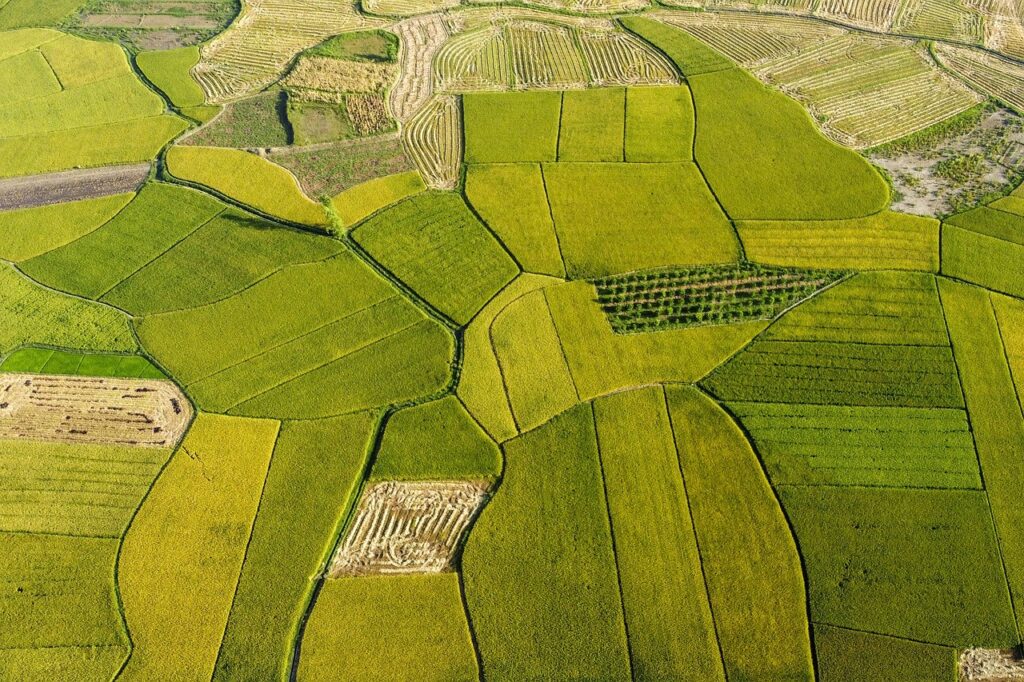
- Land Use and Crop Classification:
- Mapping Crops: Identifying different crop types and mapping their spatial distribution assists in agricultural planning and policy-making.
- Land Use Changes: Monitoring changes in land use over time helps in assessing the impact of agricultural practices on the environment.
Technologies Used in Remote Sensing
- Satellites:
- High-Resolution Satellites: Provide detailed imagery useful for small-scale analysis.
- Multispectral and Hyperspectral Sensors: Capture data in multiple wavelengths, allowing for detailed analysis of vegetation and soil properties.
- Drones (Unmanned Aerial Vehicles, UAVs):
- Flexibility and Precision: Drones can fly at low altitudes, offering high-resolution data and flexibility in data collection schedules.
- Cost-Effective: They are more affordable than satellite data for small to medium-sized farms.
- Aircraft:
- Aerial Photography: Traditional method, still in use for capturing large-scale images.
- LIDAR (Light Detection and Ranging): Used for creating high-resolution maps of land topography and vegetation structure.
Benefits of Remote Sensing in Agriculture
- Increased Productivity: Optimizing resource use and improving crop management leads to higher yields.
- Sustainability: Efficient use of inputs and water, along with better soil management, promotes sustainable farming practices.
- Cost Savings: Reducing input costs through precision farming techniques and minimizing losses due to pests and diseases.
- Informed Decision Making: Access to accurate and timely data empowers farmers to make better management decisions.
Challenges and Future Directions
- Data Integration: Combining remote sensing data with other data sources (weather, ground sensors) for comprehensive analysis.
- Accessibility: Making remote sensing technology and data accessible to smallholder farmers in developing regions.
- Advancements in AI and Machine Learning: Improving the analysis and interpretation of remote sensing data for more precise and actionable insights.
- Policy and Support: Government policies and support in adopting remote sensing technologies can enhance its widespread implementation.
In conclusion, remote sensing is a transformative tool in modern agriculture, offering significant benefits in monitoring, managing, and optimizing agricultural practices. As technology advances, its applications and accessibility are likely to expand, driving further innovations in the agricultural sector.
Remote Sensing in Agriculture
Keywords : Remote Sensing | Agriculture | Precision Farming | Crop Monitoring | Satellite Imagery, NDVI (Normalized Difference Vegetation Index) | Crop Health Assessment | Yield Prediction | Soil Moisture Monitoring | Climate Change Adaptation | Sustainable Agriculture | Crop Management | GIS (Geographic Information System) | Data Analytics | Technology Integration