Learn Google Earth Engine (GEE) to develop industry-ready skills.
- Access to Massive Geospatial Data
- Cloud-Based Processing Power
- Strong Career Opportunities
Course content
Module 1: Introduction to Google Earth Engine
1. Introduction to Google Earth Engine (GEE)
2. Creating a Google Earth Engine Account
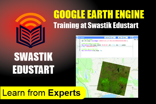
3. Overview of the GEE Code Editor Interface
4. Basics of JavaScript Syntax for GEE
5. Understanding Client vs Server Objects in GEE
6. Importing and Exporting Raster and Vector Data in GEE
Module 2: Band Combinations and Image Processing
7. Band Combinations Using Satellite Imagery
8. Band Combinations Across Different Datasets
Module 3: Image Visualization in GEE
9. Filtering Satellite Imagery
10. Displaying and Visualizing Satellite Images
Module 4: Vegetation, Water, Snow & Urban Indices
11. Calculating NDVI (Normalized Difference Vegetation Index)
12. Calculating EVI (Enhanced Vegetation Index)
13. Calculating NDWI (Normalized Difference Water Index)
14. Calculating NDBI (Normalized Difference Built-up Index)
15. Calculating NDSI (Normalized Difference Snow Index)
16. Creating Time Series Charts for Indices
Module 5: Land Surface Temperature (LST) Analysis
17. Calculating LST Using MODIS Dataset
17. Calculating LST Using MODIS Dataset
18. Creating Time Series Charts for LST Monitoring
Module 6: Air Quality Monitoring in GEE
19. Calculating CO (Carbon Monoxide) Levels (mol/m²)
20. Calculating NO₂ (Nitrogen Dioxide) Levels (mol/m²)
21. Calculating SO₂ (Sulphur Dioxide) Levels (mol/m²)
22. Calculating CH₄ (Methane) Levels (mol/m²)
23. Generating Time Series Charts for Air Quality Parameters
Module 7: Digital Elevation Model (DEM) Analysis
24. Generating Hillshade, Slope, and Aspect Maps
25. Exporting Hillshade, Slope, and Aspect Maps
Module 8: Land Use Land Cover (LULC) Analysis
26. Creating LULC Maps in GEE
27. Performing Accuracy Assessment (Producer Accuracy, Kappa, etc.)
28. Calculating Area for Each LULC Class