- 🗺️ From the Hidden Valleys to the Digital Cloud: Arunachal's Geospatial Revolution
- 🌍 1. Mapping Every Corner — Even the Clouds!
- 🛰️ 2. From Paper Plans to GIS-Powered Cities
- 🌾 3. Farmers with Maps? Yes, Please.
- 🌧️ 4. Saving Lives with Landslide & Flood Maps
- 💡 5. Behind the Scenes: GIS for Everything!
- 📱 The Human Side of GIS
- ✨ Why You Should Care
- 🔗 Want to See the Maps Yourself?
- 💬 Let’s Talk!
- 📣 SHARE this if you believe in tech-driven governance and sustainable development!
- 📌 Hashtags (For Social Media)
🗺️ From the Hidden Valleys to the Digital Cloud: Arunachal’s Geospatial Revolution
Tucked away in India’s northeast, Arunachal Pradesh has long been known for its pristine landscapes and remote, unexplored terrains.
But in 2025, something incredible is happening…
The state is getting mapped, monitored, and modernized with GIS!
Let’s take you on a tour of how GIS (Geographic Information Systems) is silently rewriting the story of Arunachal — from disaster resilience to smart farming, from digital governance to eco-tourism.
🌍 1. Mapping Every Corner — Even the Clouds!
In 2025, over 80% of Arunachal’s terrain has been mapped using satellite imagery, drones, and remote sensing tools.
📌 Even the cloud-covered peaks of Tawang and Ziro now live in detailed 3D GIS models.
From landslide-prone zones to tribal settlement locations, the government can now predict, plan, and protect more precisely than ever before.
🔗 See how 3D mapping is changing Northeast India (NECTAR)
🛰️ 2. From Paper Plans to GIS-Powered Cities
The town of Boleng just got its first GIS-based master plan!
No more vague zoning or unplanned growth.
Now?
- Roads are mapped for slope and stability
- Water pipelines are routed using topography
- Building permits are issued based on actual satellite data
It’s urban planning meets the cloud.
🔗 Explore Boleng’s GIS journey
🌾 3. Farmers with Maps? Yes, Please.
In Papum Pare and Kamle districts, farmers are now using GIS apps to check:
- Which crop grows best on their soil
- Where water flows naturally
- How far their farm is from local markets
This is all thanks to Project CHAMAN and APSAC’s geospatial services.
From intuition to information — Arunachal’s agri is getting smart.
🌧️ 4. Saving Lives with Landslide & Flood Maps
Every monsoon, rivers swell and hills slide.
But not anymore.
GIS now:
- Predicts flood-prone areas in Siang
- Highlights landslide danger zones near Itanagar
- Sends alerts using integrated disaster dashboards
Emergency services now arrive before the disaster hits. That’s powerful.
💡 5. Behind the Scenes: GIS for Everything!
What else is GIS used for in Arunachal 2025?
✅ Wildlife corridor mapping
✅ Power line planning (like Kathalguri–Namsai grid)
✅ Tourism circuit development
✅ Border surveillance
✅ School and healthcare access mapping
✅ Real-time road condition monitoring
One tool. Endless impact.
📱 The Human Side of GIS
What makes Arunachal’s GIS story unique?
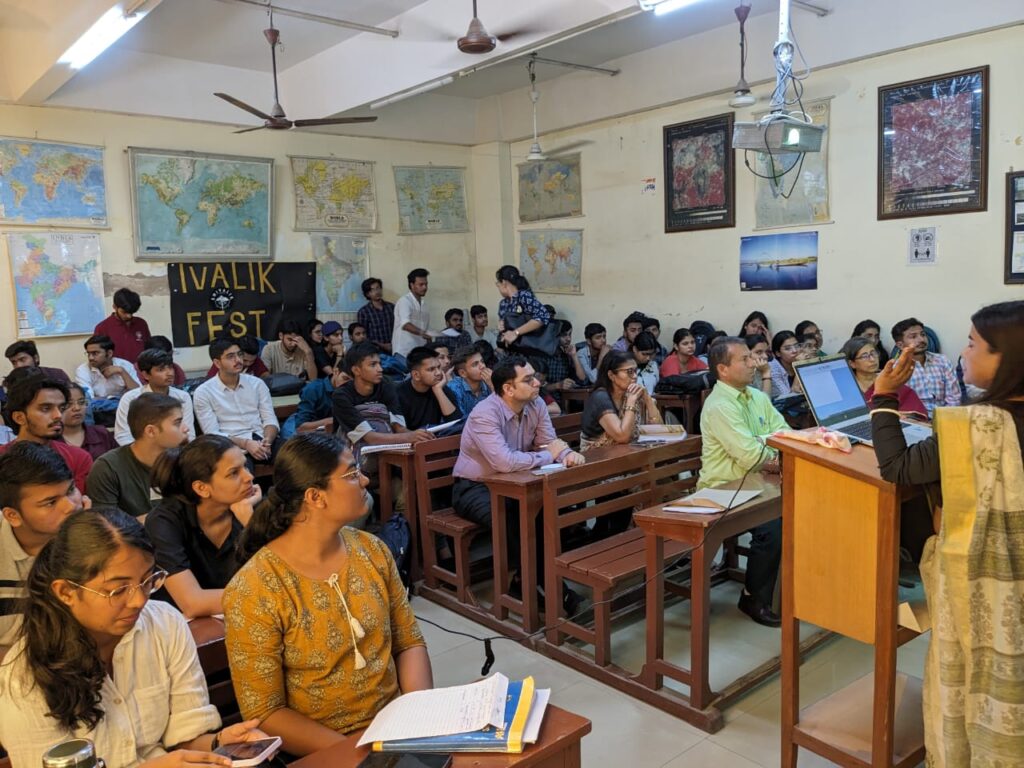
👉 Local students are now learning GIS skills in classrooms
👉 Tribal communities use mobile apps to report illegal deforestation
👉 Government departments are connected via e-GIS dashboards
This isn’t just data on a screen — it’s digital empowerment at the grassroots.
✨ Why You Should Care
Whether you’re a policymaker, techie, student, or nature lover, Arunachal’s GIS leap is a blueprint for all of India:
- 🌱 Sustainable growth
- 🛡️ Climate resilience
- 🏞️ Inclusive planning
- 📊 Real-time governance
📍 What was once “India’s land of the dawn-lit mountains” is now also “India’s land of digital maps.”
🔗 Want to See the Maps Yourself?
Check out:
💬 Let’s Talk!
👇 Tell us in the comments:
Which GIS innovation surprised you the most in Arunachal Pradesh?
Have YOU used GIS in your profession or studies?
📣 SHARE this if you believe in tech-driven governance and sustainable development!
📌 Hashtags (For Social Media)
#GIS2025 #ArunachalPradesh #SmartGovernance #DigitalIndia #RemoteSensing #NorthEastIndia #GeospatialRevolution #SustainableDevelopment #TechForGood
Would you like this blog turned into a social media carousel (Instagram/LinkedIn) or a reel script? I can help with that too!

