Diploma in GIS and
Remote Sensing
Master geospatial technology with hands-on training in GIS, Remote Sensing, Python, LiDAR, Drone Processing & Google Earth Engine — in 6 months.
JUNE 8, 2026
START ON
Upcoming Batches (Call Us)
6 MONTHS
DURATION
DIPLOMA
TYPE OF PROGRAM
GRADUATION / R.AWAITED
ELIGIBILITY
₹36K
FEE
(Fee After Disocunt)
PLACEMENT ASSISTANCE
PLACEMENT
OFFLINE / ONLINE /HYBRID
CLASS MODE
ITT COUNCIL (ATC)
CERTIFICATION
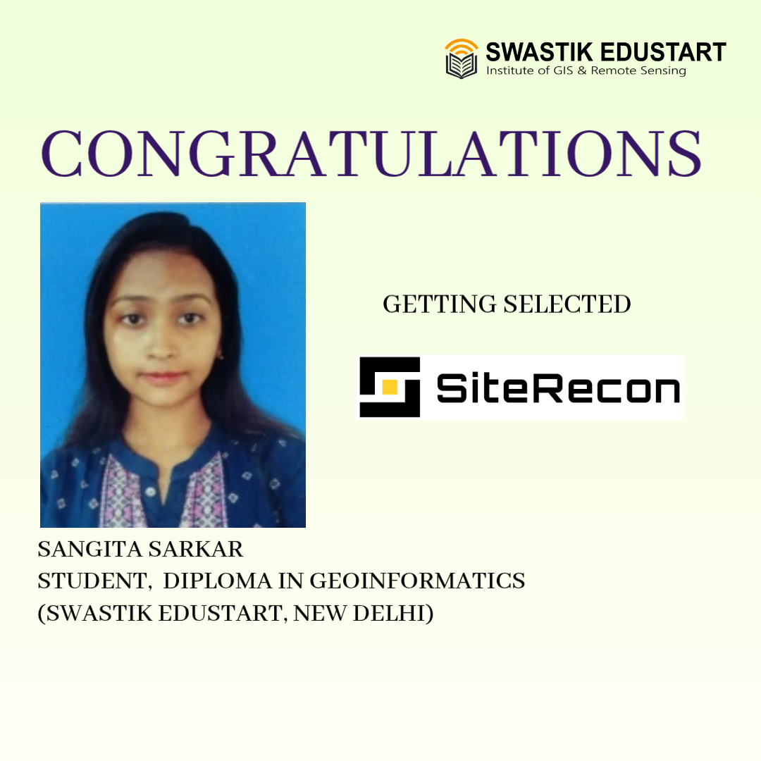
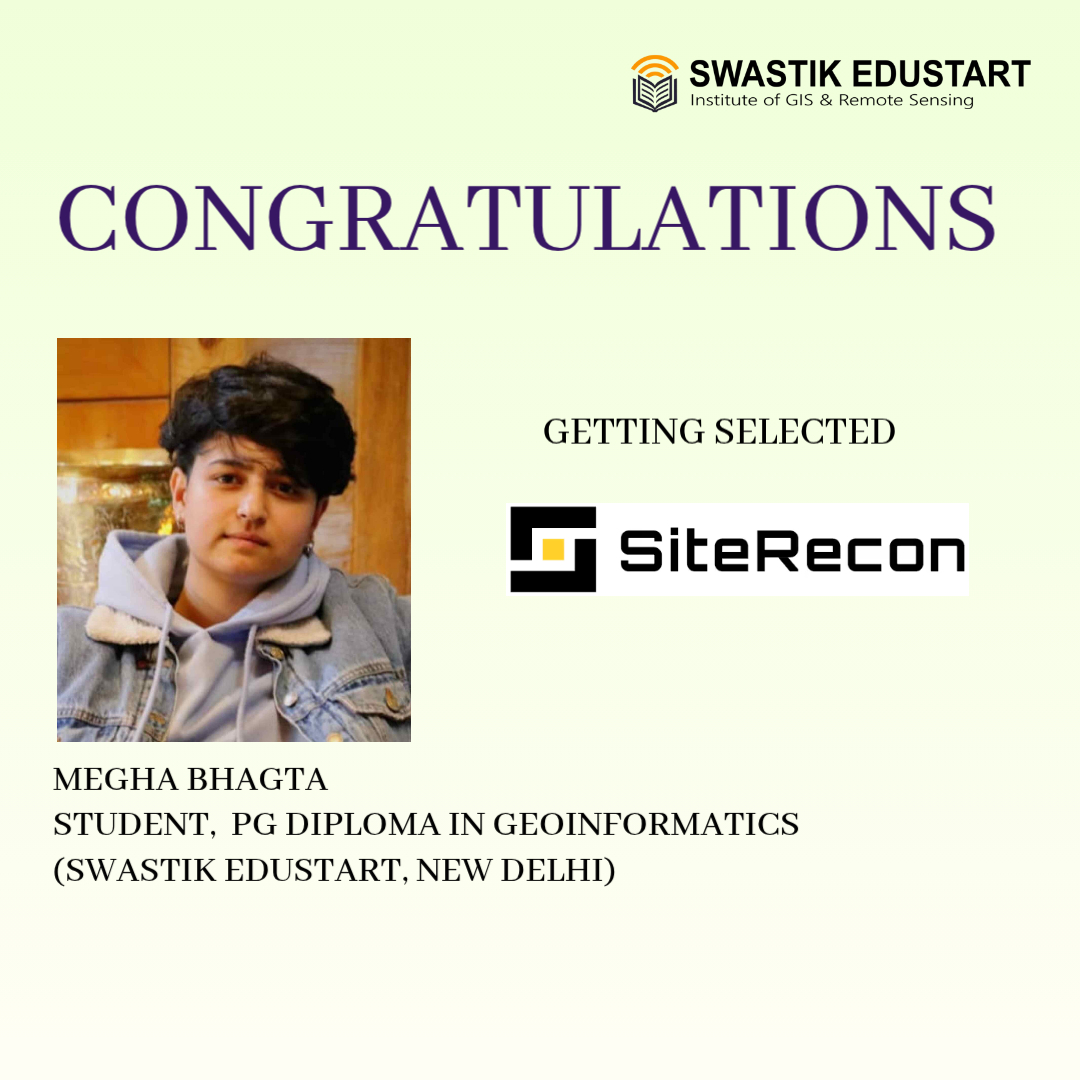
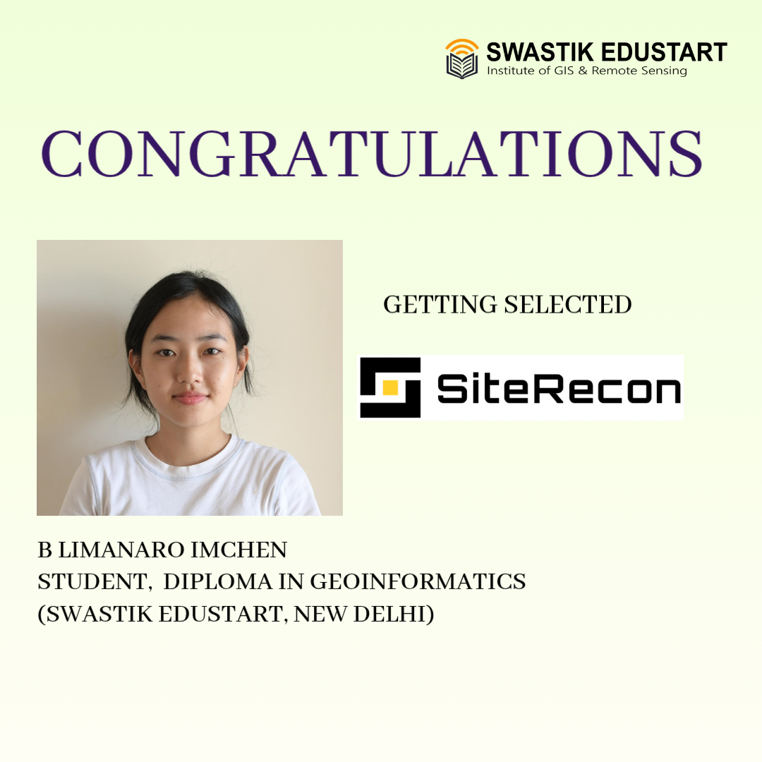
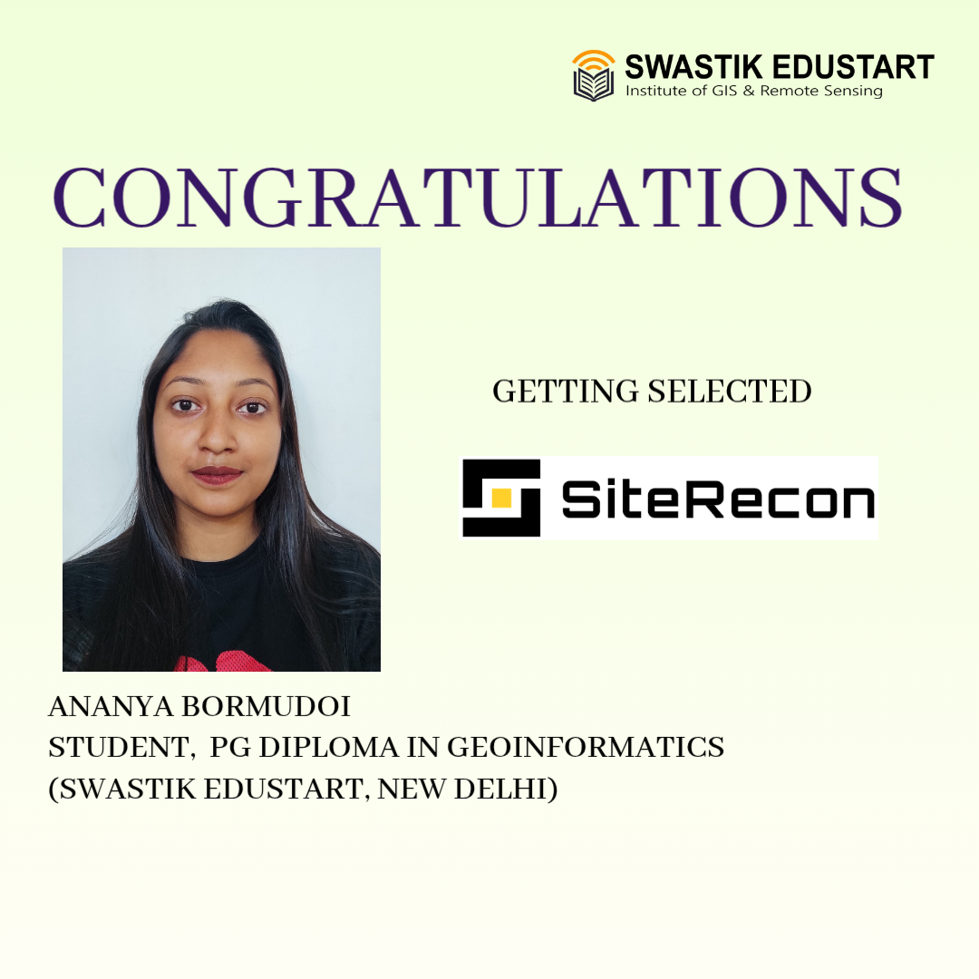
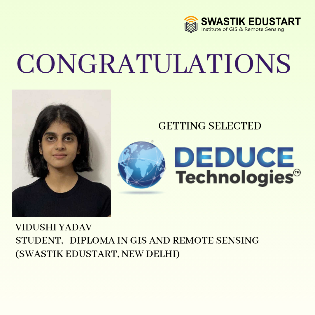
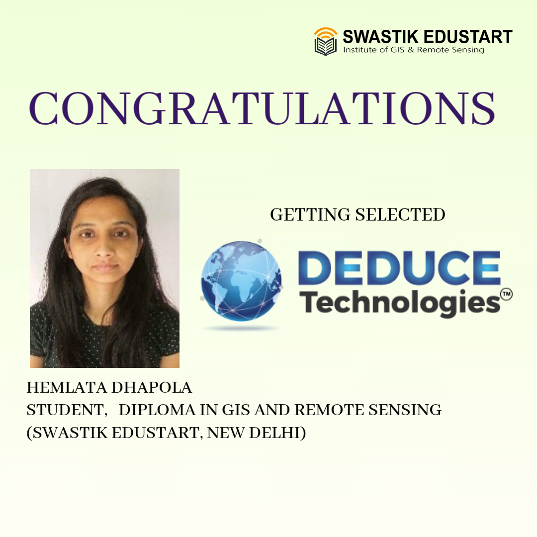
PLACEMENTS
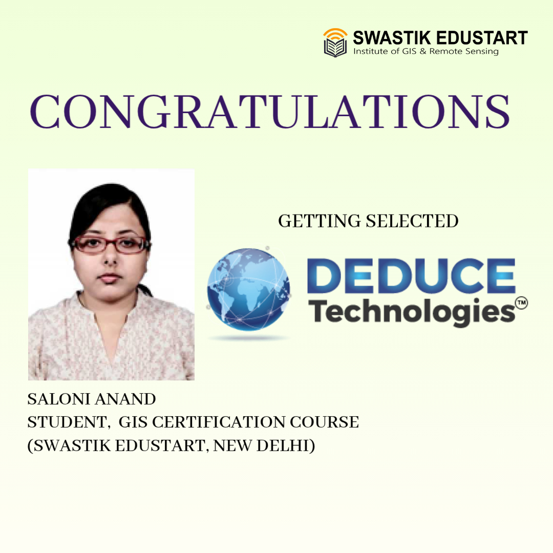
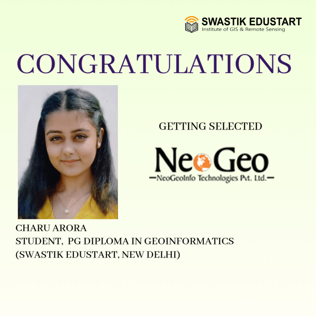
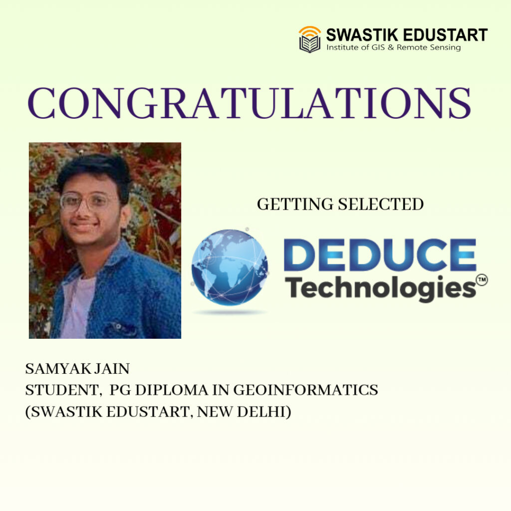
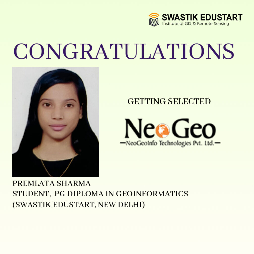
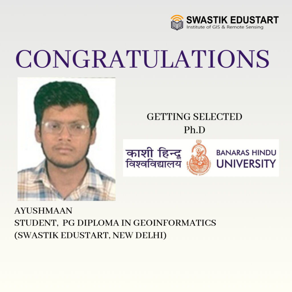
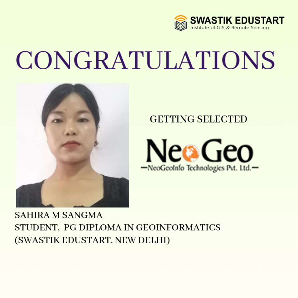
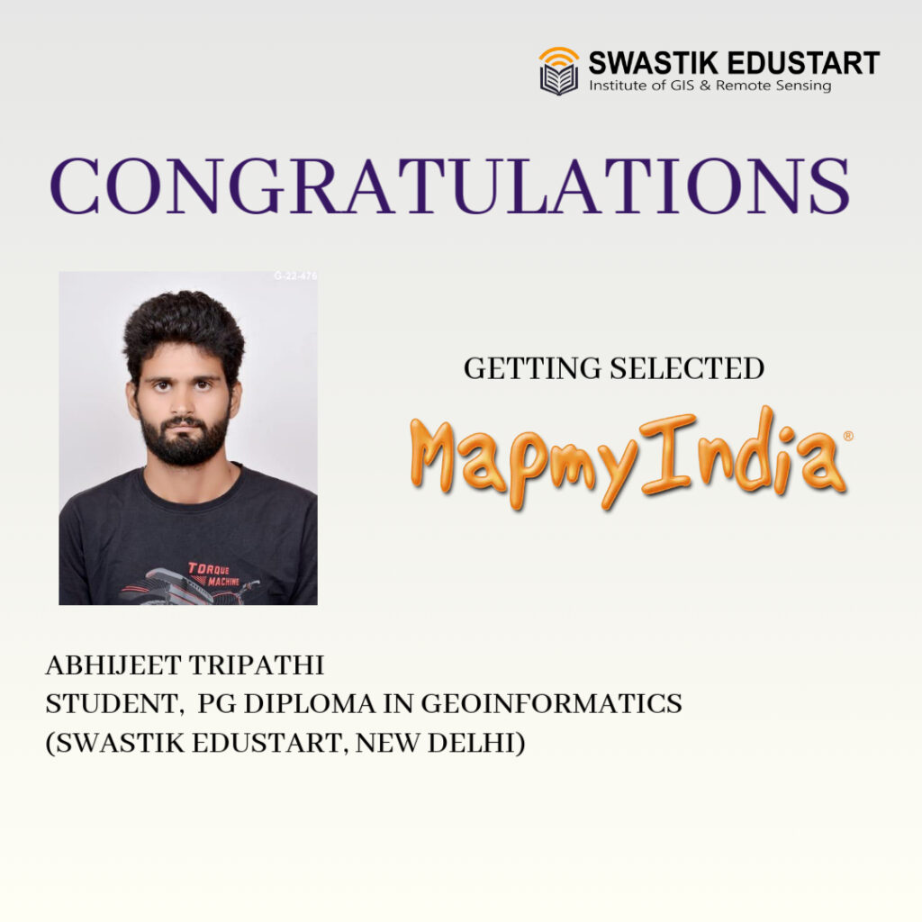
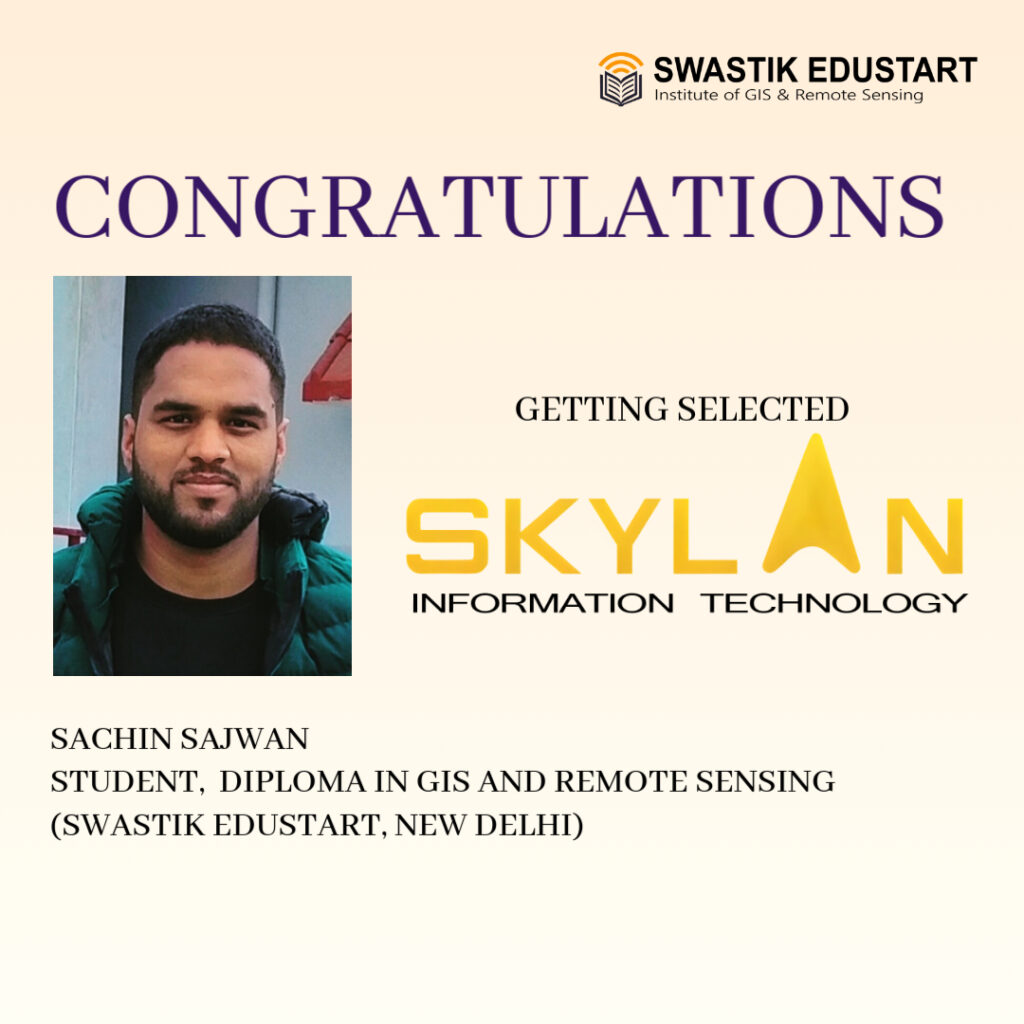
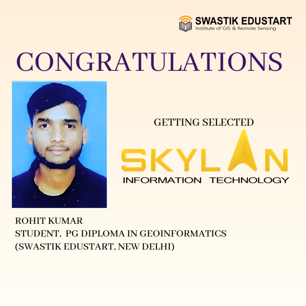
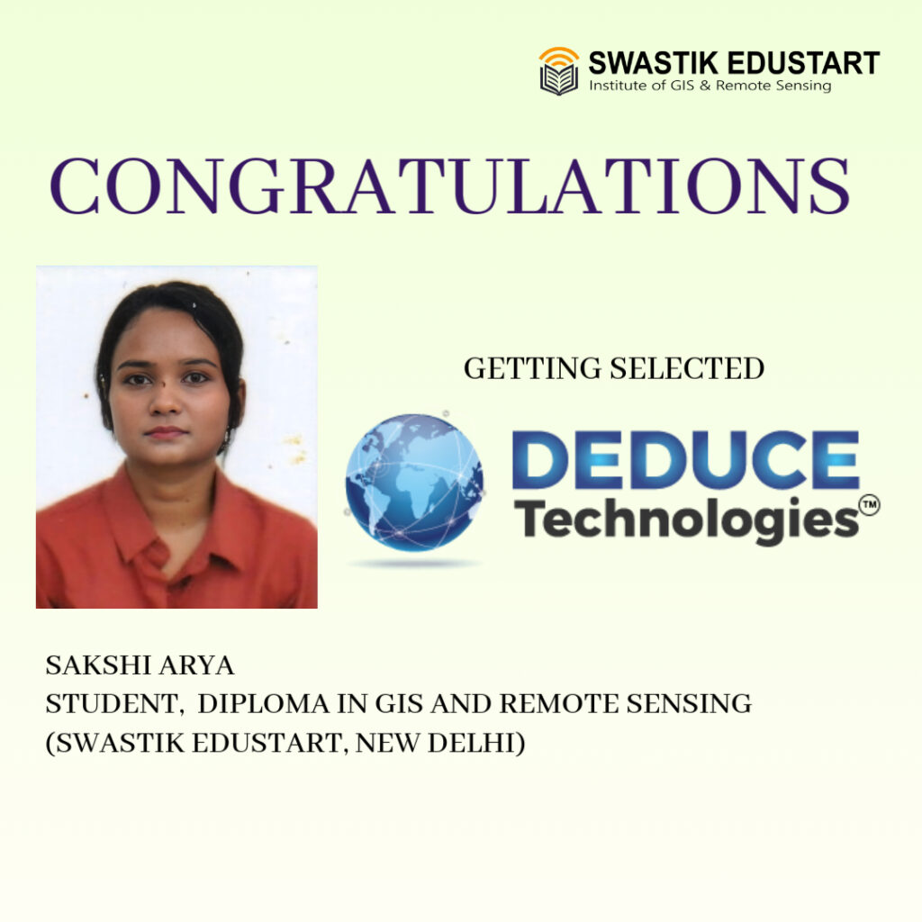
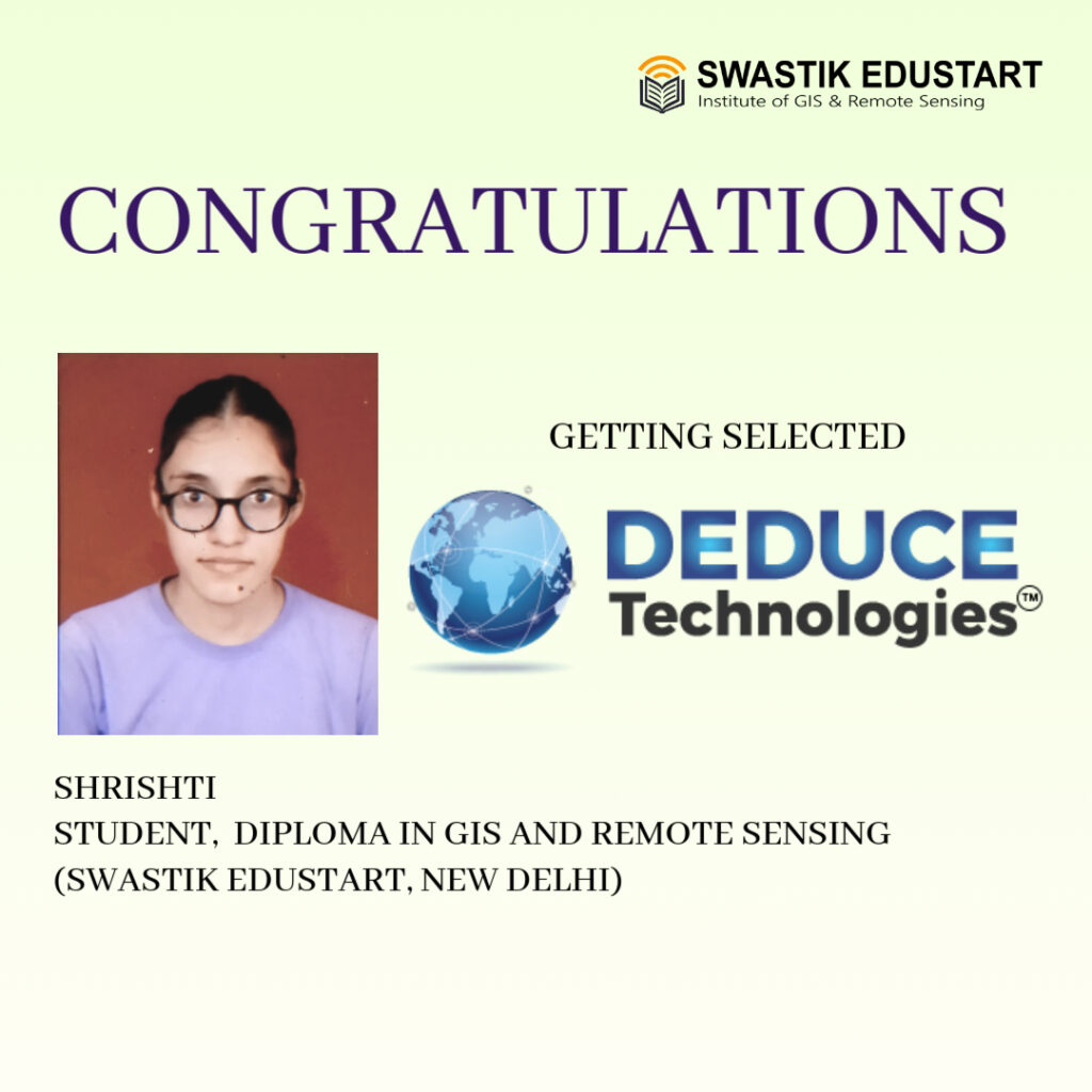
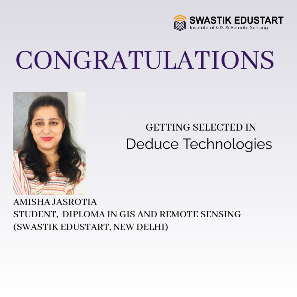
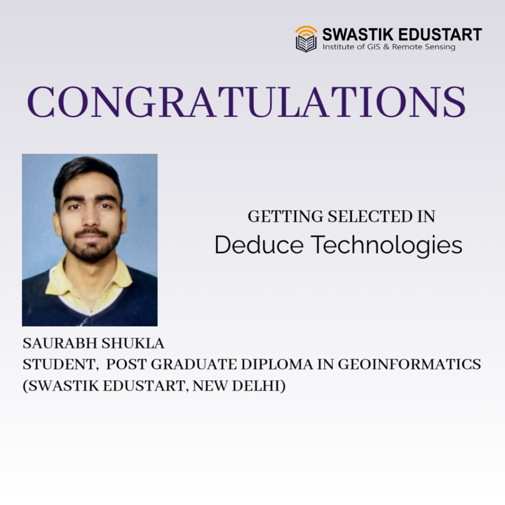
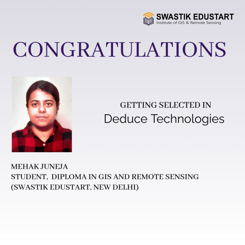
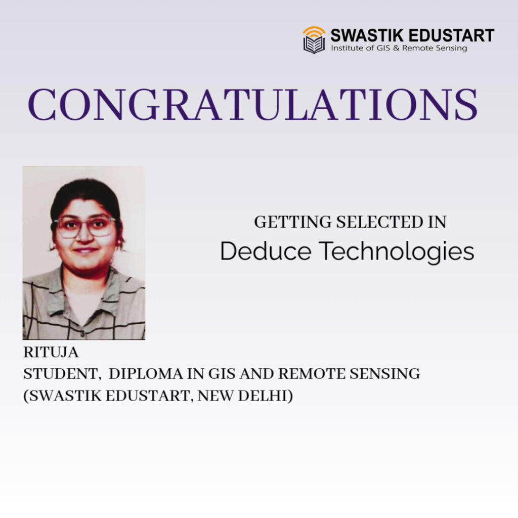
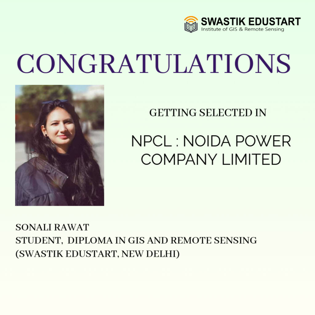
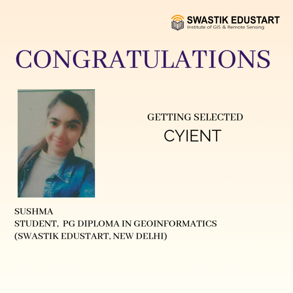
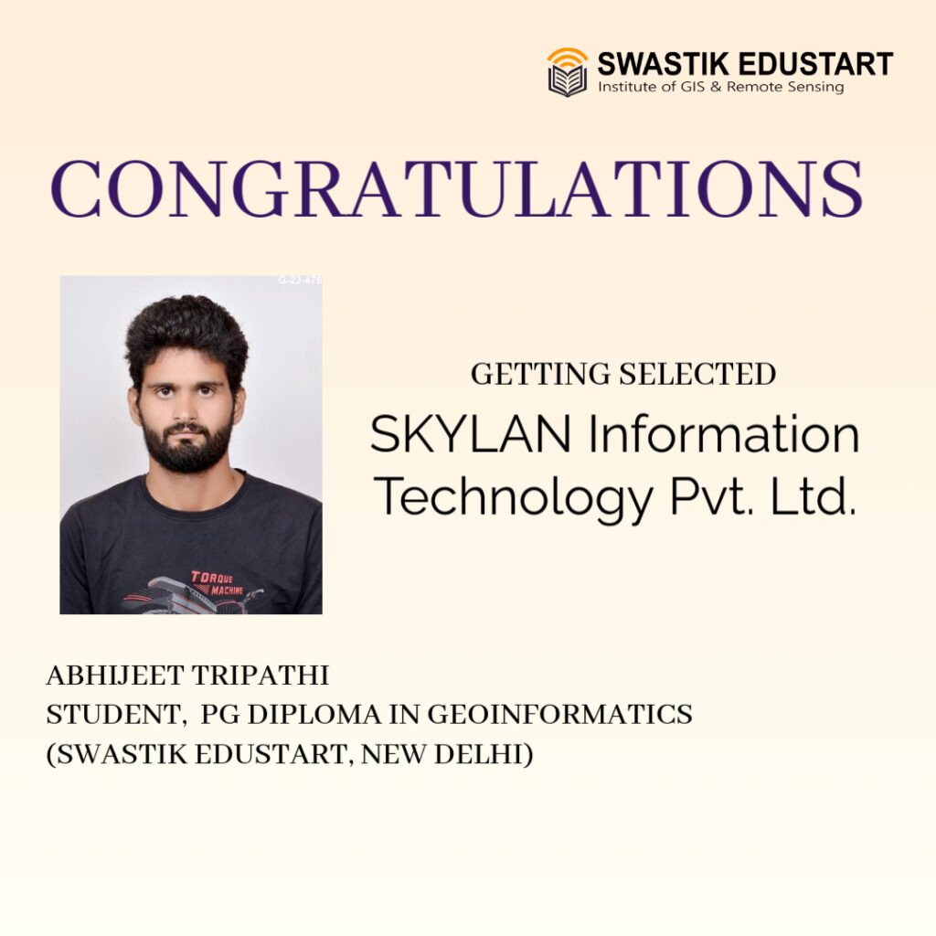
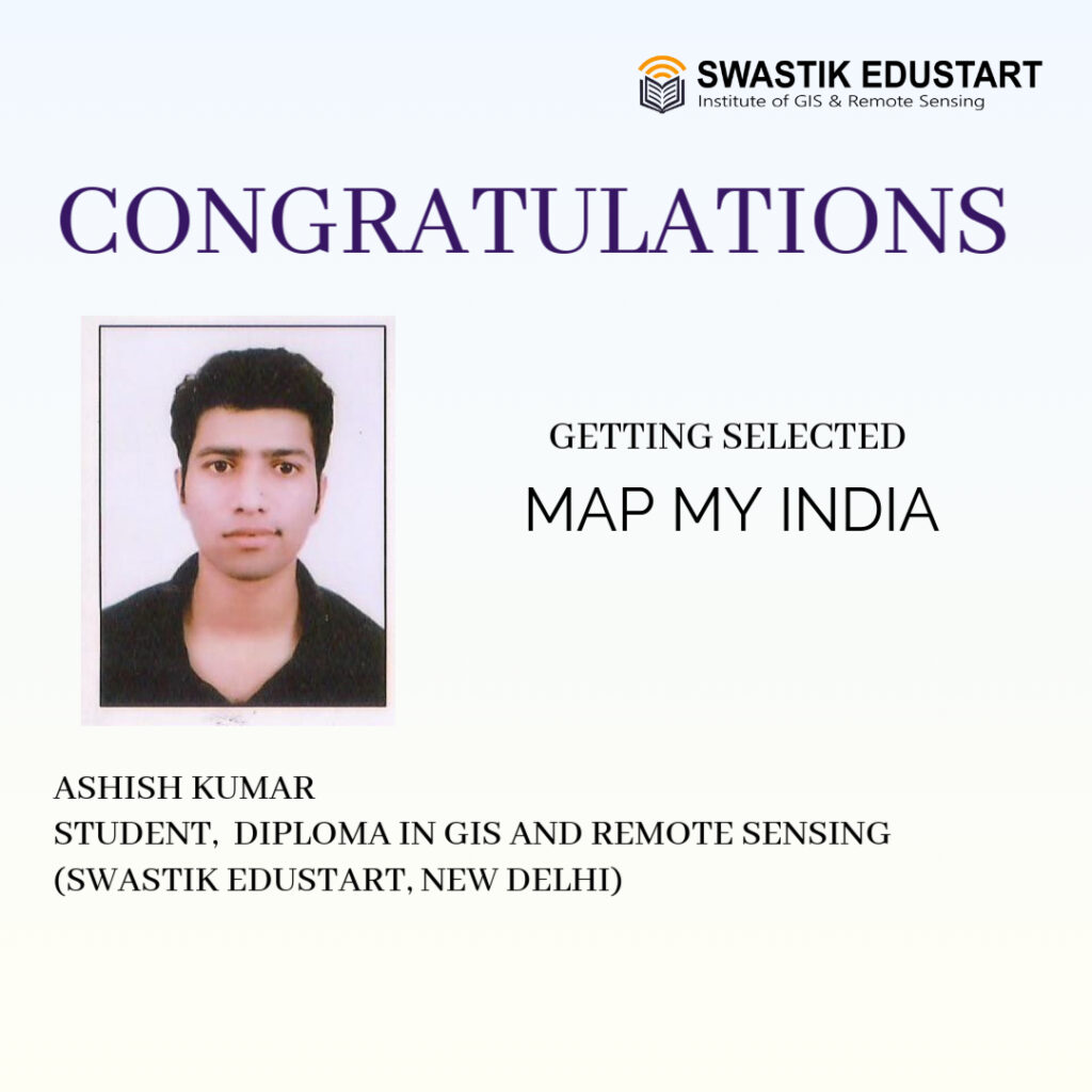
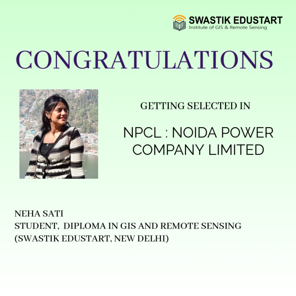
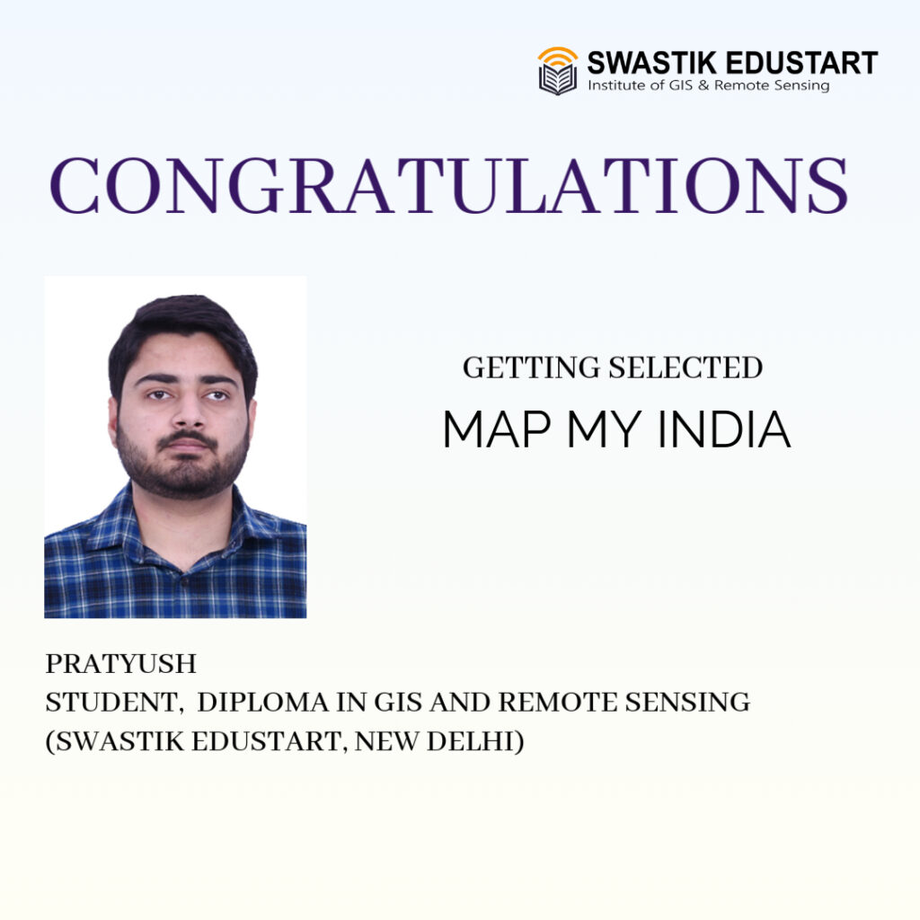
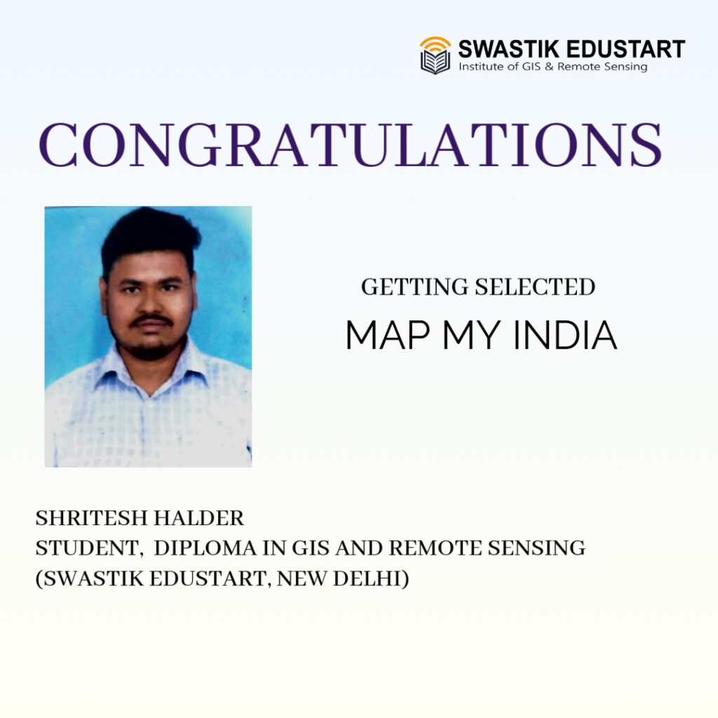
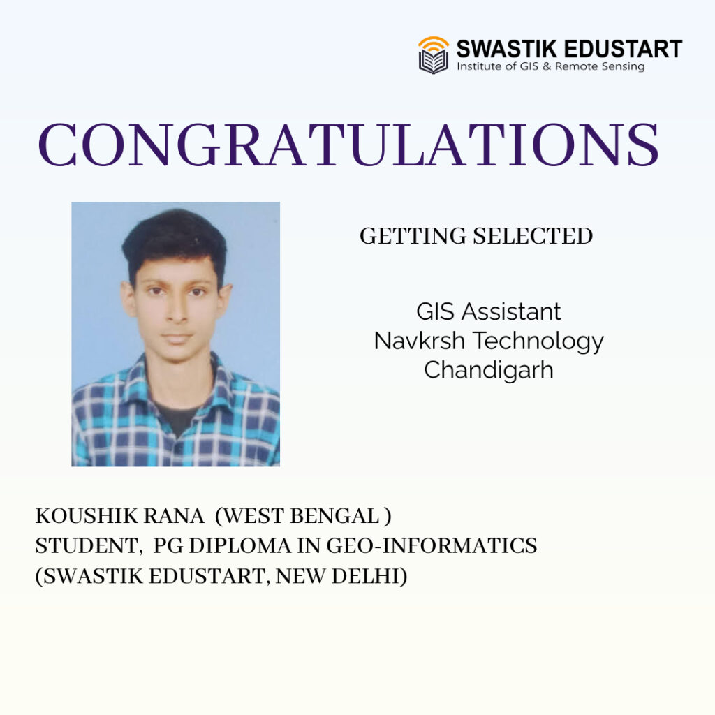
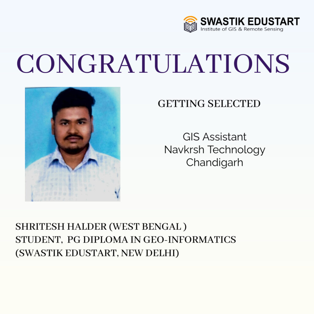
Our Students Placed in Leading GIS Companies
At Swastik Edustart, we are committed to helping students build successful careers in the field of GIS, Remote Sensing, Geoinformatics, and Spatial Data Analysis. Our industry-oriented training programs are designed to enhance practical skills and improve employability for freshers, graduates, and working professionals.


Course Highlights
| Course Name | Diploma in GIS and Remote Sensing |
| Affiliation | Authorised Training Center of ITT Council |
| Duration | 6 Months (4 Months Training and 2 Months Internship/Project) |
| Eligibility | Graduation /UG- Result Awaited |
| Placement Assistance | Yes |
| Fee Structure | |
| Mode of Training | Offline – Delhi / Online – Live Classes / Hybrid |
Technologies Covered
Why Choose This Diploma?
The 6-Month Diploma in GIS & Remote Sensing at Swastik Edustart is a career-focused program combining practical skills with real-world projects. It prepares students to be job-ready in geospatial technologies from day one.
- IN DEMAND GIS SKILLS
- PRACTICAL FOCUSED TRAINING
- UPDATED COURSE CONTENT
- CERTIFICATION – ITT COUNCIL (ATC)
- PLACEMENT ASSISTANCE
WHO CAN APPLY?
Open to Graduates (completed or pursuing) from any discipline with basic computer knowledge.
Students
🌍Geography, Geology & GIS Students
🔬Science & Engineering Students
🏙️Planning, Surveying & Environmental Students
Working Professionals
🚀Beginners & Career Aspirants in GIS
🖥️Computer Science / IT
Hands-on Projects and Case Studies
Fee Structure
Total Course Fee : Rs. 39,000/- Rs. 36,000/- (*Limited Time Offer)
Pay In Installments
Mode of Classes
TRAINING MODE
Offline – Delhi
Regular classroom training at our Delhi centre with hands-on lab access and face-to-face mentoring.
Online – Live
Instructor-led live sessions with two-way communication. Class recordings provided after every session.
Hybrid
Attend regular classes online and visit the Delhi centre for doubt-clearing and practical sessions.
GLOBAL LEVEL CERTIFICATION
We are Authorised Training Center of ITT Council
ITT Council – Government Recognized & Certified Quality
Registered Institution: A Government of India registered organization (CIN: U74999DL2016NPL299102) established in 2016.
Global Standards: Awarded the ISO 9001:2015 International Quality Certificate, ensuring a rigorous and effective learning environment. visit https://ittcouncil.com/ for more information.
CURRICULUM
Complete Course
Course is divided into 4 modules
Internship and Placement
At the end of second semester we provide assistance in internship and placement
Admission Process
We will help you in choosing right course and and admission process , Fill the form and get complete details
Download Brochure
Download Brochure and Get Details
Enquire Now
Start Your Geospatial Career Today
Join the next batch and gain skills that are in high demand across industries worldwide.
Student Placement Highlights
Our students are now working with leading companies in GIS, Remote Sensing, IT, and Data Analytics. We take pride in transforming learners into professionals through hands-on training and dedicated placement support.


FAQ
Course FAQs – Everything You Need to Know
Explore everything you need to know about our training programs—from course details and eligibility to placements and support services.
Type a short headline
Briefly and concisely explain what you do for your audience.