Learn Advanced GIS & Remote Sensing with Placement Assistance.

Certifications digitally verifiable online

Let's find the right course for you

Full Support from Our Professional Team

Our professional team is here to guide, assist, and support you whenever you need help.

WhatsApp Image 2026 02 25 at 9.11.29 PM scaled
ai girl

Take the First Step towards Success – Get Started on Your GIS Journey!

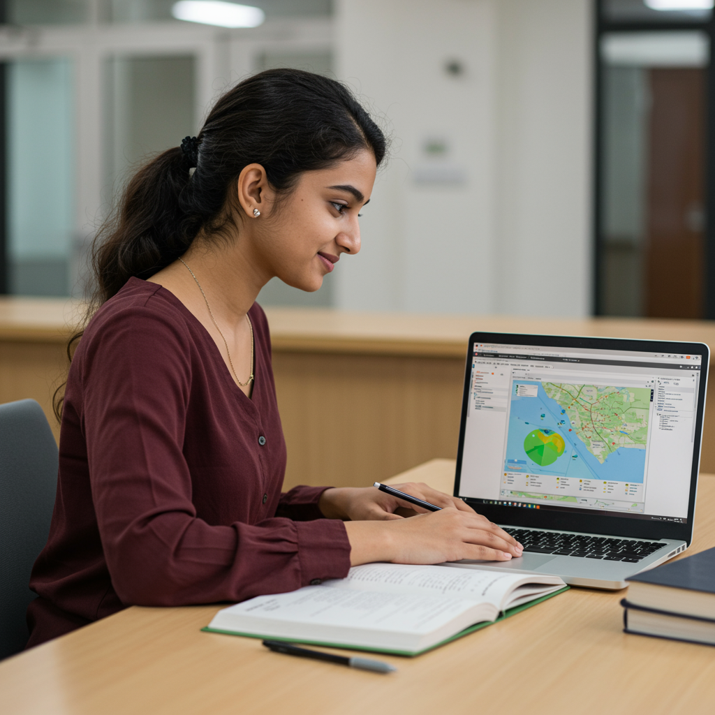
Start learning GIS today and develop the expertise needed to analyze spatial data, create maps, and grow in the geospatial field.

Companies Hiring

Got Questions? We’ve Got Answers

Everything you need to know about learning GIS, from course details to career prospects, all in one place.

GIS (Geographic Information System) is a technology used to capture, analyze, and visualize spatial or geographic data. Learning GIS opens up career opportunities in fields like urban planning, environmental science, disaster management, and data analysis, making it a highly valuable skill in today’s data-driven world.

Our GIS courses are open to students, graduates, and professionals from diverse backgrounds such as geography, engineering, environmental science, IT, and even beginners with an interest in mapping and data analysis. No prior GIS experience is required for our foundational courses.

Yes, our programs emphasize practical learning through live projects, case studies, and assignments. This ensures you develop real-world skills and build a strong portfolio that can help you in job placements.

After completing the course, you can explore roles such as GIS Analyst, Remote Sensing Specialist, Spatial Data Analyst, and Urban Planner. GIS skills are in demand across industries like government agencies, environmental organizations, IT companies, and research institutions.

Courses

Use this paragraph to provide more insights writing with clear and concise language that is easy to understand. Edit and proofread your content.

Scroll to Top